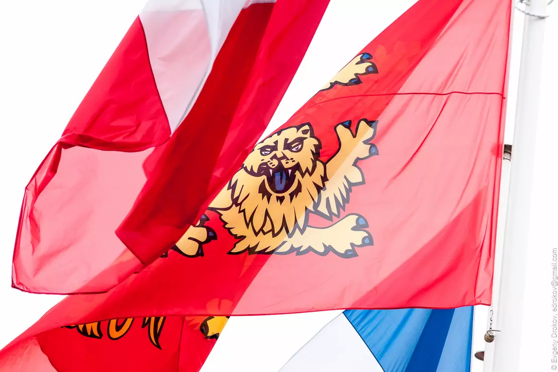
Lower Normandy

Lower Normandy (French: Basse-Normandie, IPA: [bas nɔr.mɑ̃.di]; Norman: Basse-Normaundie) is an administrative region of France. It was created in 1956, when the Normandy region was divided into Lower Normandy and Upper Normandy. The region includes three departments, Calvados, Manche and Orne, that cover the part of Normandy traditionally termed "Lower Normandy" lying west of the Dives River, the Pays d'Auge (except a small part remaining in Upper Normandy), a small part of the Pays d'Ouche (the main part remaining in Upper Normandy), the Norman Perche and part of the "French" Perche.
The traditional districts of Lower Normandy include the Cotentin Peninsula and La Hague, the Campagne de Caen, the Norman Bocage, the Bessin and the Avranchin.
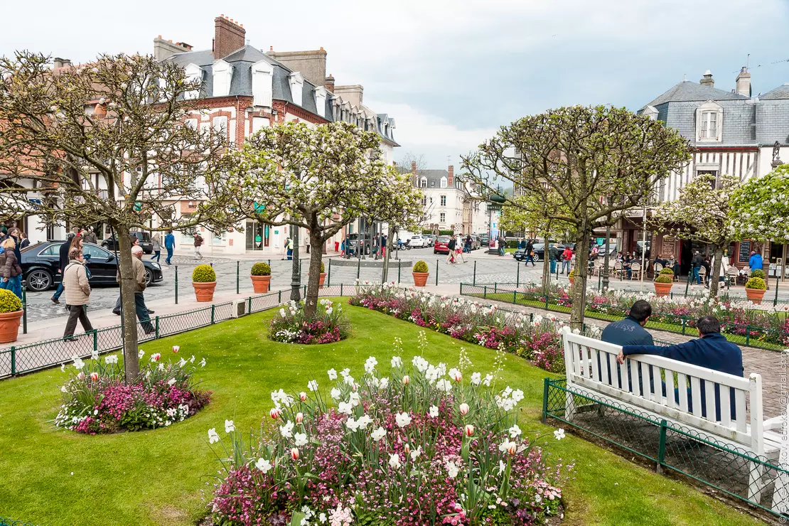
All galleries listed below are shot in Lower Normandy.
Images from galleries after 2006 are available in high resolution. Contact me if you like to license any of the images. The private use is free for everyone. Visit shop.drokov.com to order high quality prints.